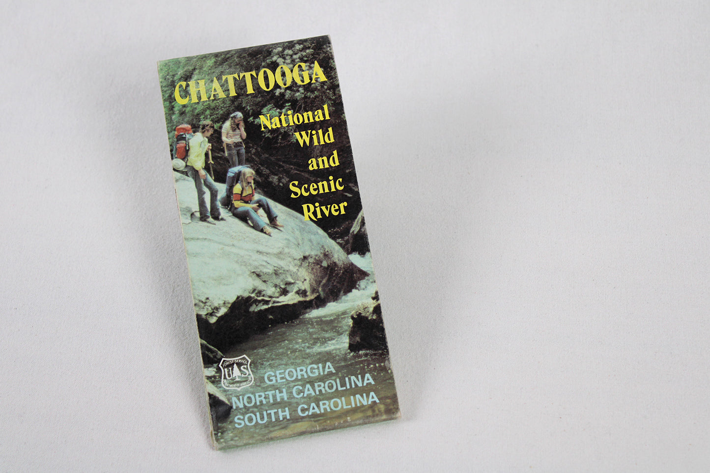
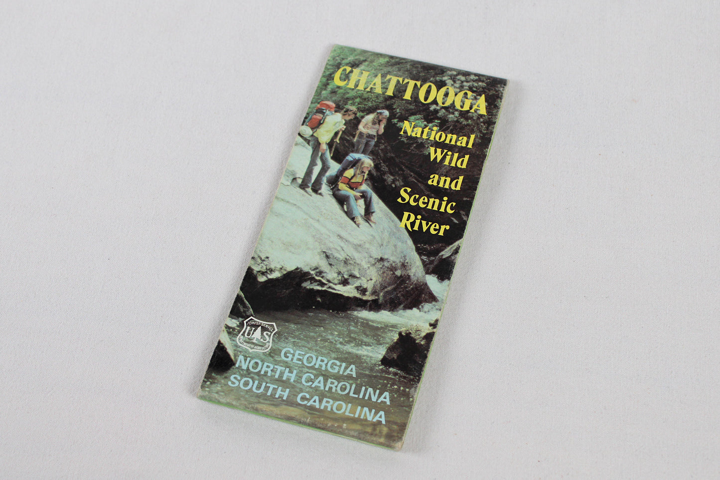
ATLANTIC SOUTH. Trail / Hiking / Kayaking River Map, National Forest / Recreation Area, 1994.
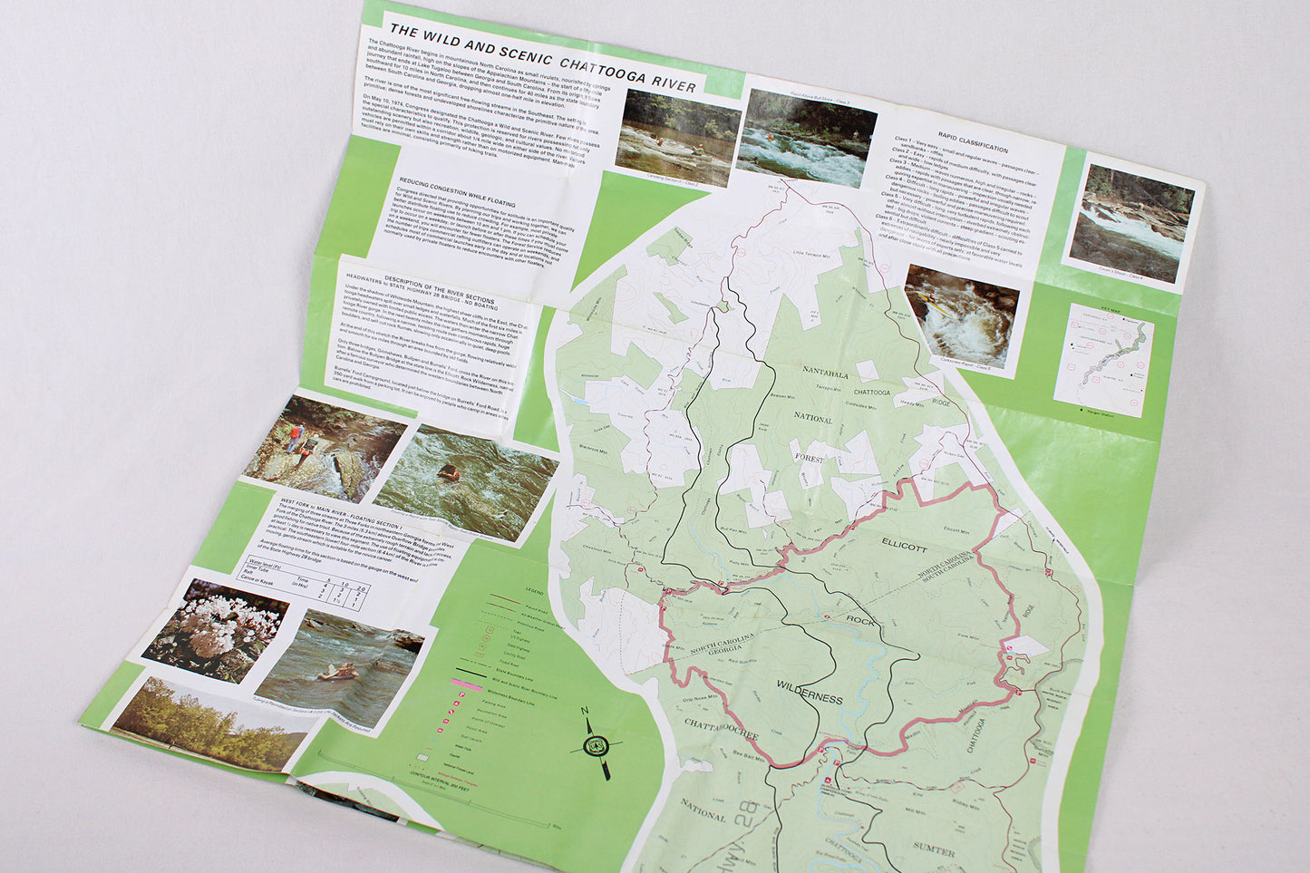
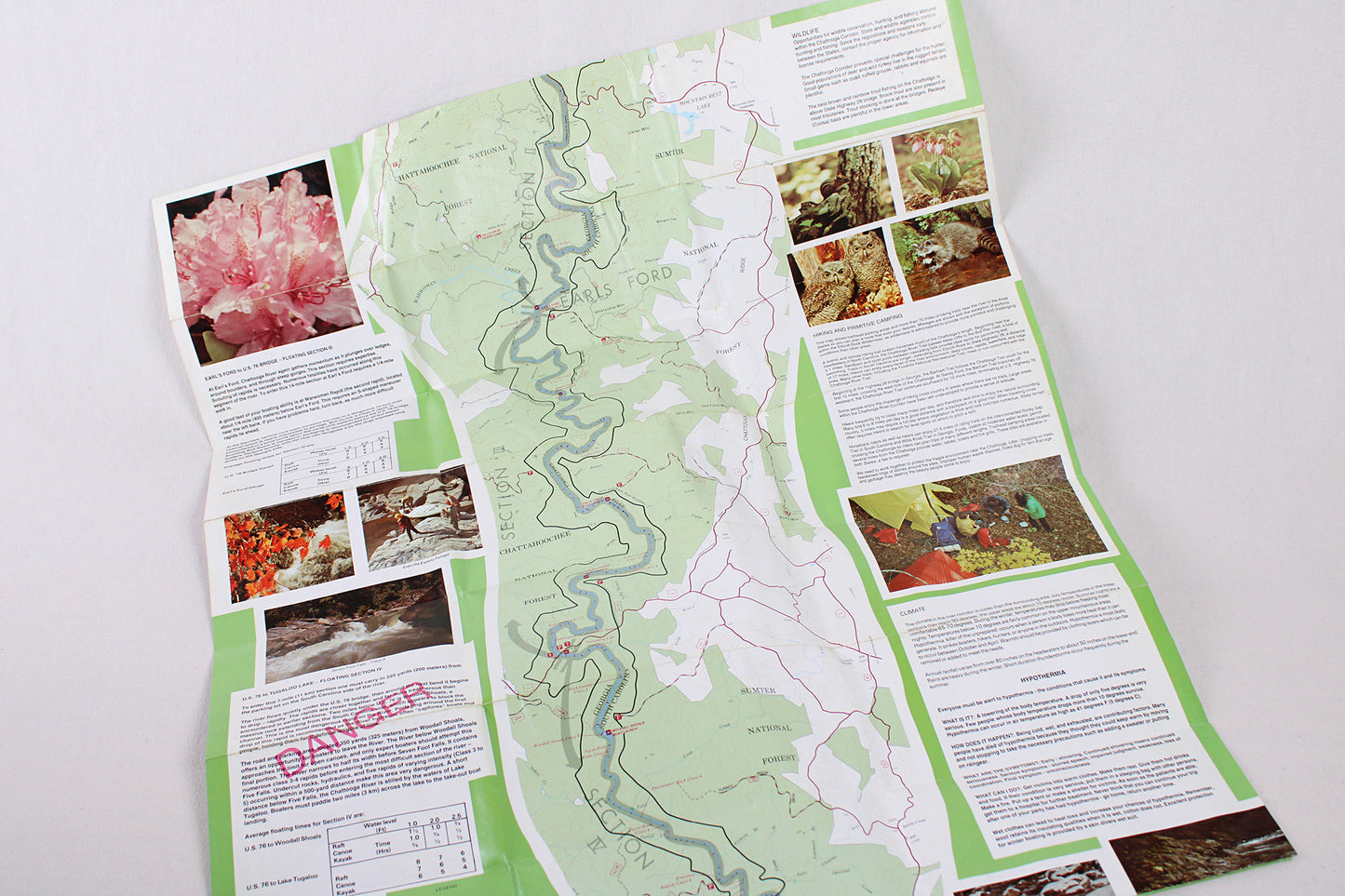
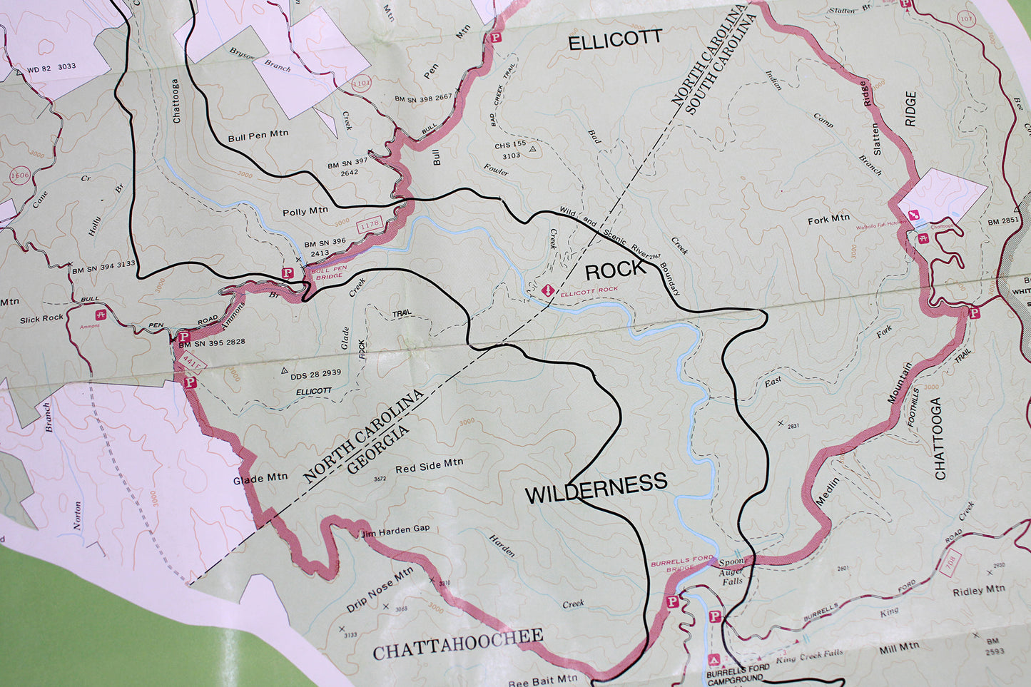
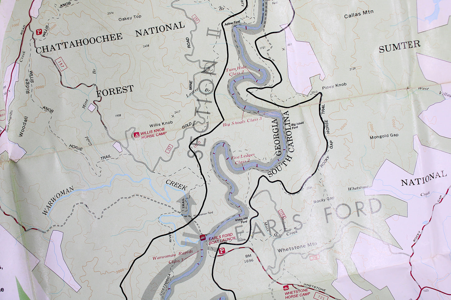
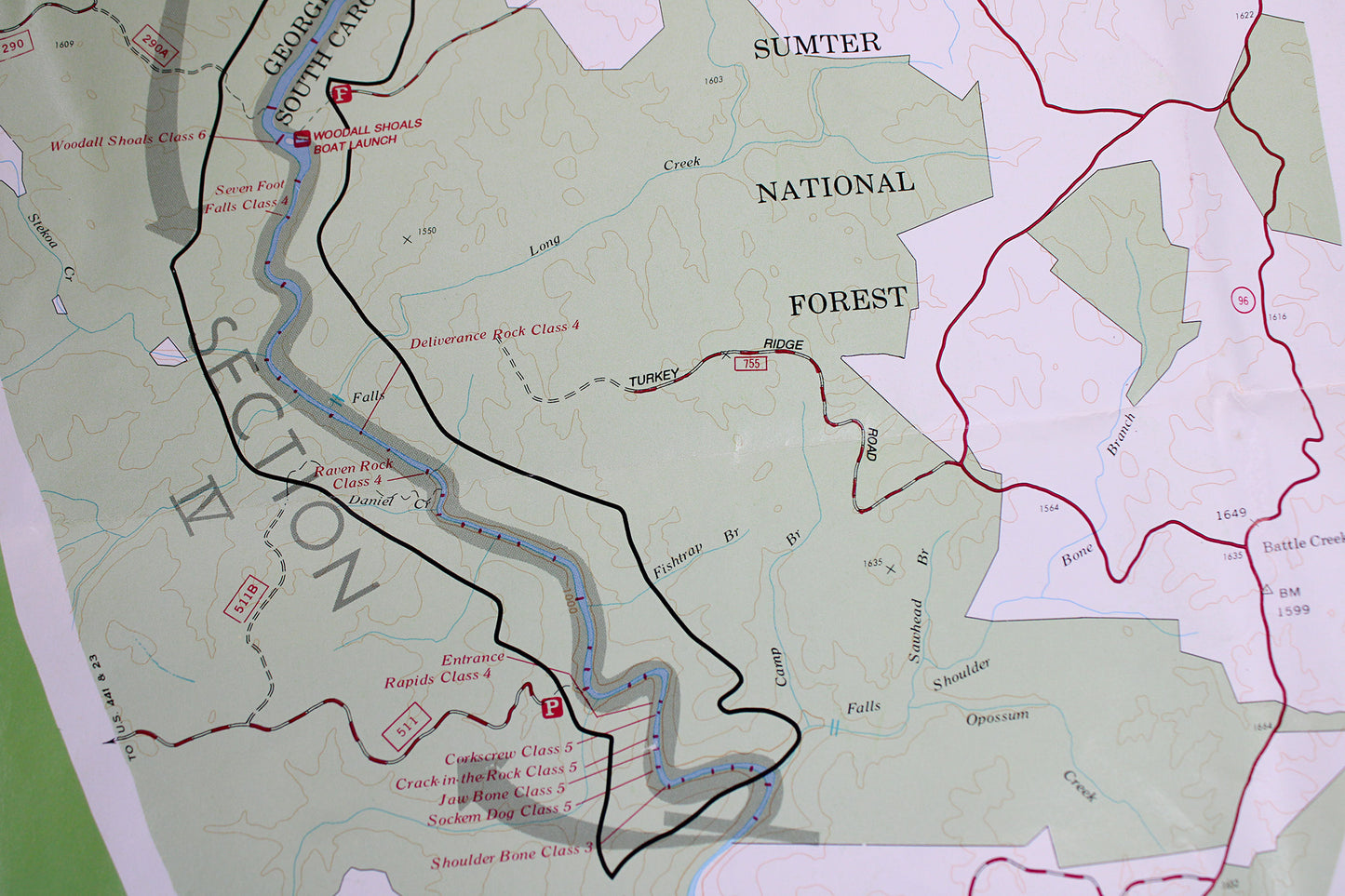
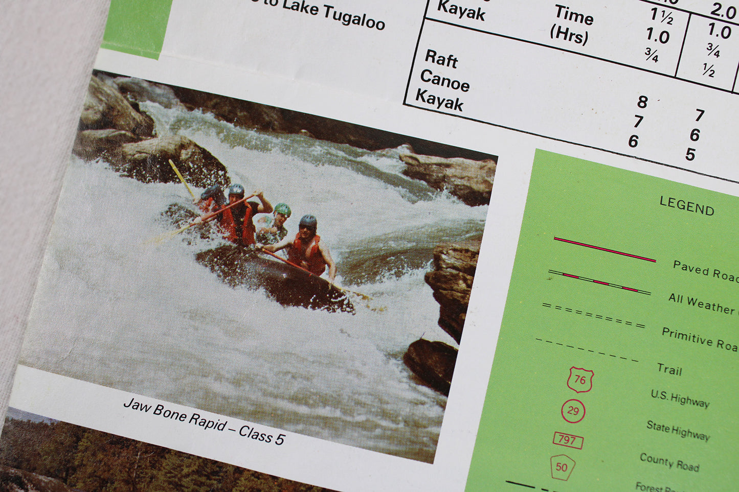
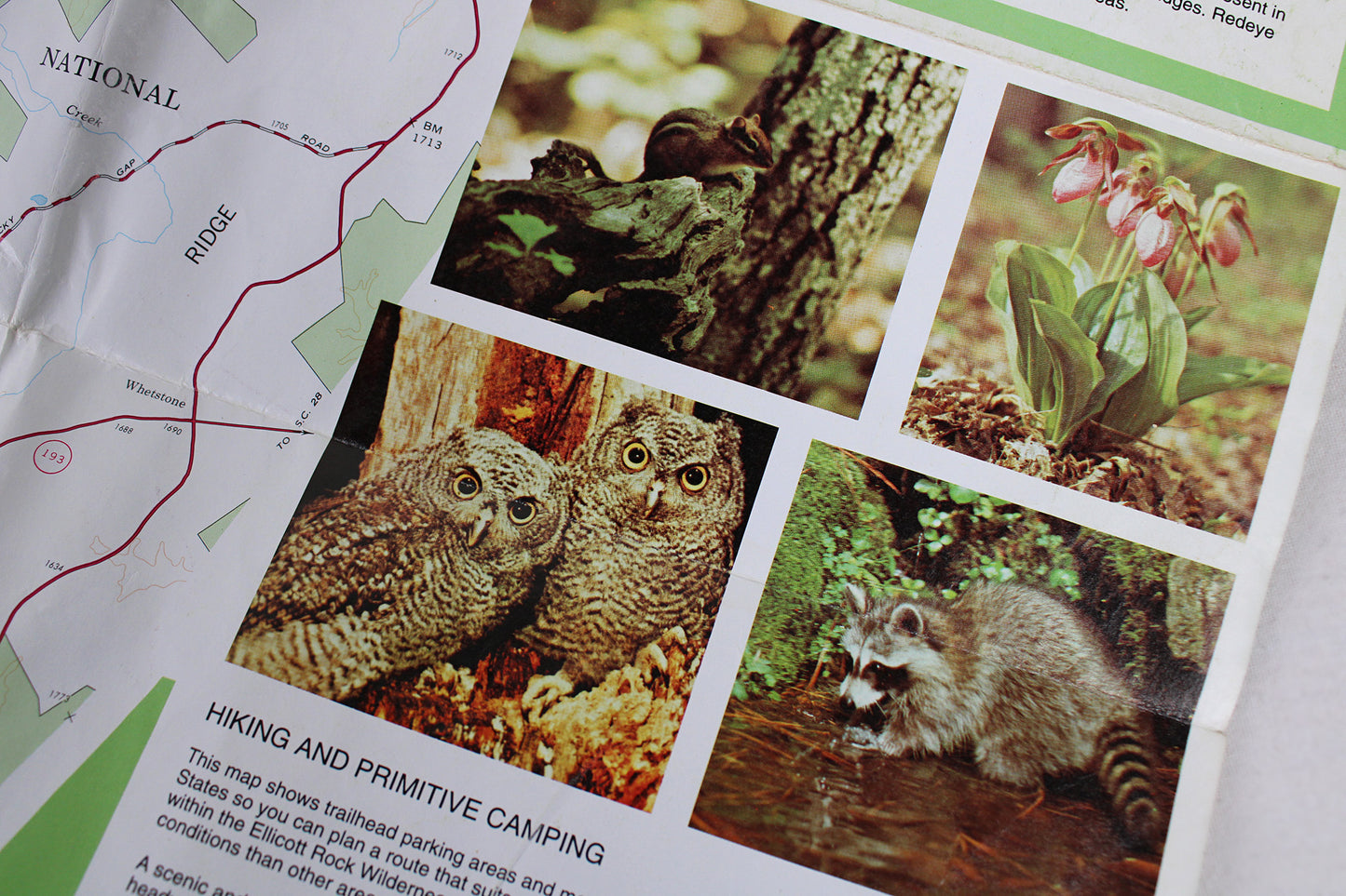
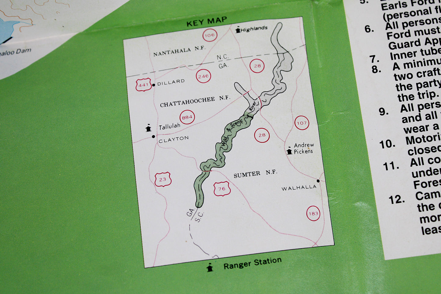
From the short intro: “On May 10, 1974, Congress designated the Chattooga a Wild and Scenic River. The river is one of the most significant free-flowing streams in the Southeast,” a statement that still holds true. A 1994 reprint, the content in this durable laminated (possibly waterproof) map seems more 1980s, prior to the modern kayaking / whitewater craze proving ever popular today. Two-sided, its fine-detail winds with the river’s course through the Nantahala (North Carolina), Chattahoochee (Georgia), and Sumter (South Carolina) National Forests of the southern Appalachians. Sidebar sections talk of the climate, wildlife, and backcountry hiking, with every rapids and “floating section” being finely marked-some with warnings, lest those confident become overly so. In great condition, this was a vital resource for those serious about the outdoors. It even boasts Woodsy the Owl reminding us all to “Give a Hoot. Don’t Pollute.”
Condition: Used Very Good. Nature / Outdoors. Dimensions: 4" wide x 9" high (folded) / 24" wide x 36" high (unfolded)