The Regionals
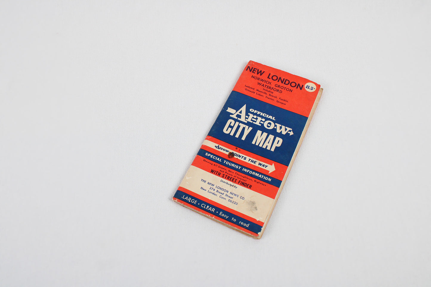
Greater New London, Connecticut / Official Arrow City Map
Greater New London, Connecticut / Official Arrow City Map
Couldn't load pickup availability
NORTHEAST.
Street-Level Map, c. 1960s.
(This fold-out map ships for free.)
Arrow set the standard for workmanlike fold-out street-level city maps in post-World War II America and Canada. They remained a quality presence throughout the remainder of the twentieth-century until the advent of digital maps. A utilitarian well-considered design, it is no wonder these maps so often survive in good shape even after extensive use. This map (c. 1960s) spotlights the New London and Groton area at the mouth of the Thames River, extending east to Mystic, north beyond Norwich, and encompassing most of New London County, southeastern Connecticut.
Condition: Used Good.
Local / Regional Areas.
Dimensions: 5" wide x 9.75" high (folded) / 35" wide x 45" high (unfolded)
1 in stock
Share


