The Regionals
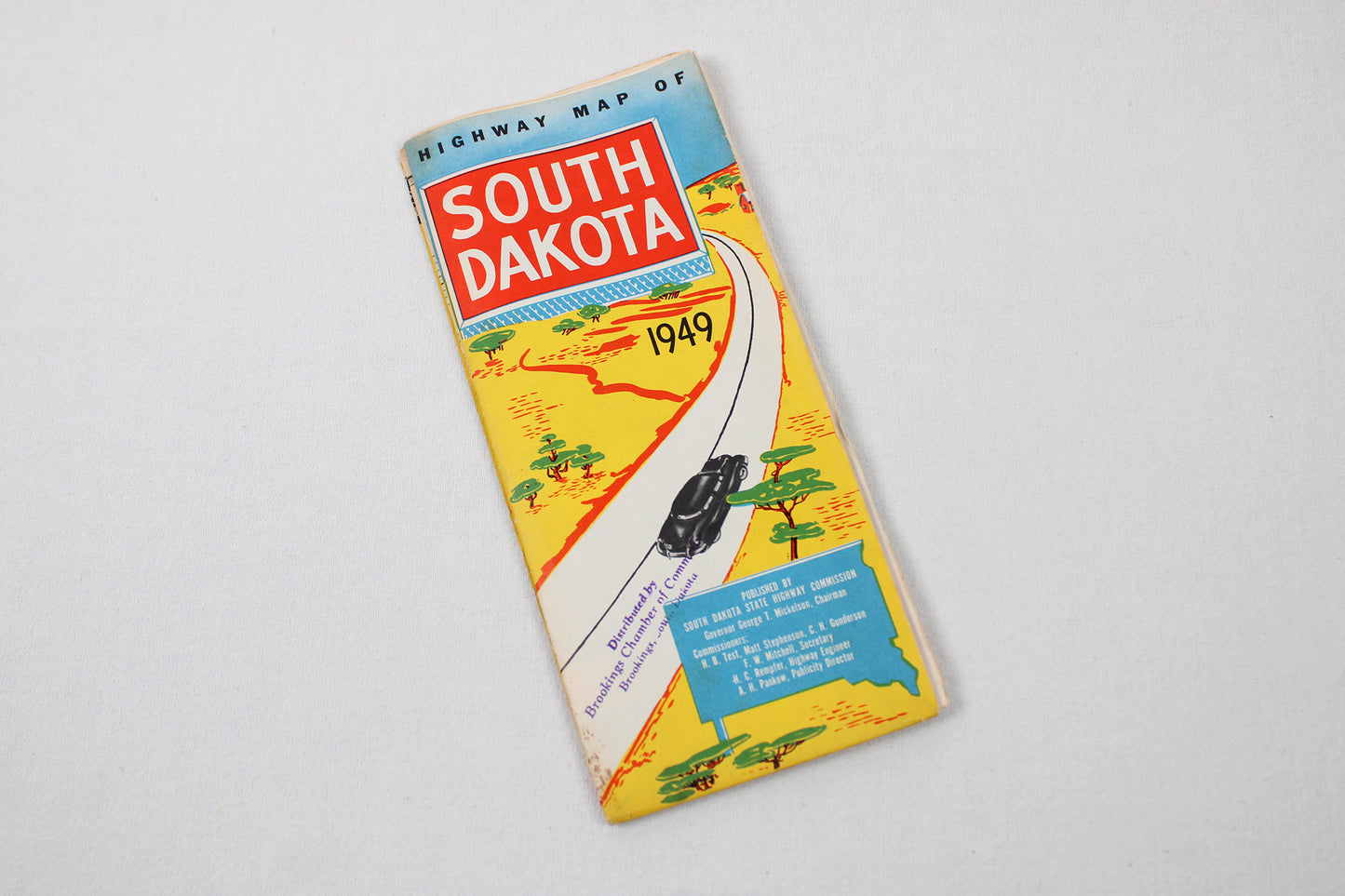
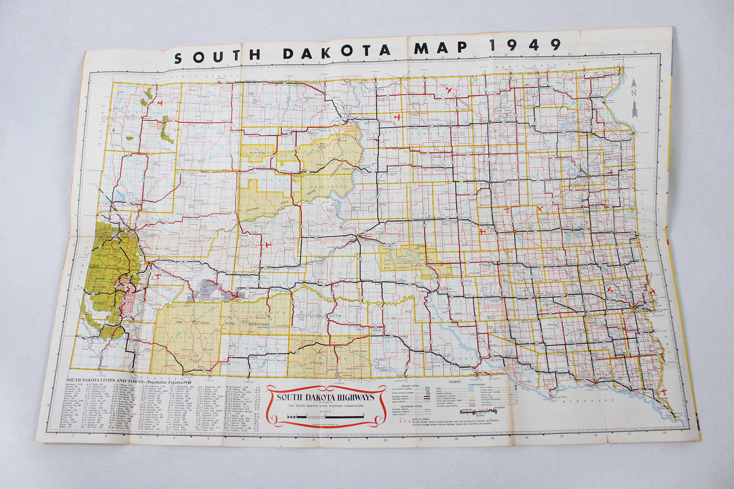
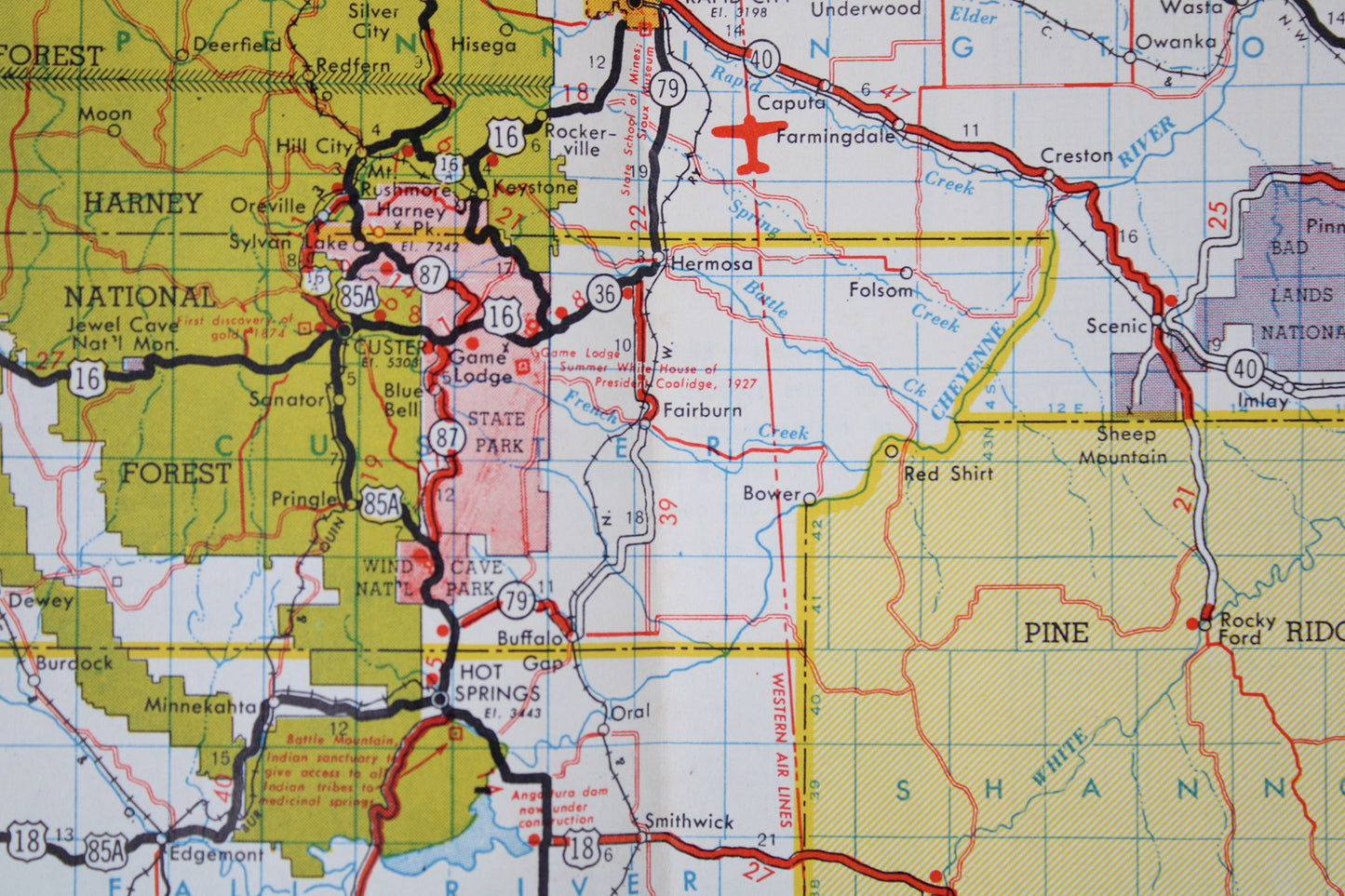
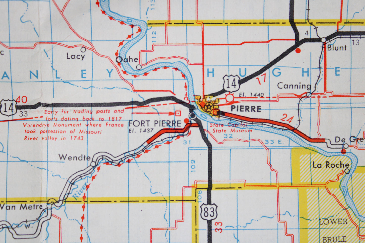
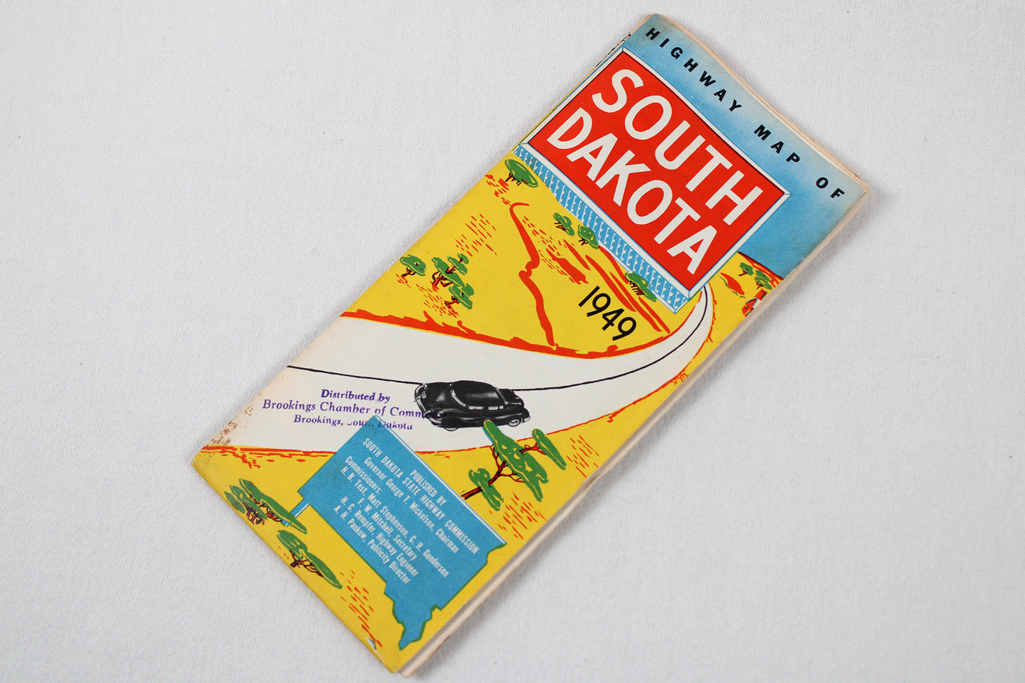
South Dakota Highway Map, 1949
South Dakota Highway Map, 1949
Couldn't load pickup availability
MID-AMERICA + THE PLAINS.
State Roadway Map, 1949.
(This fold-out map ships for free.)
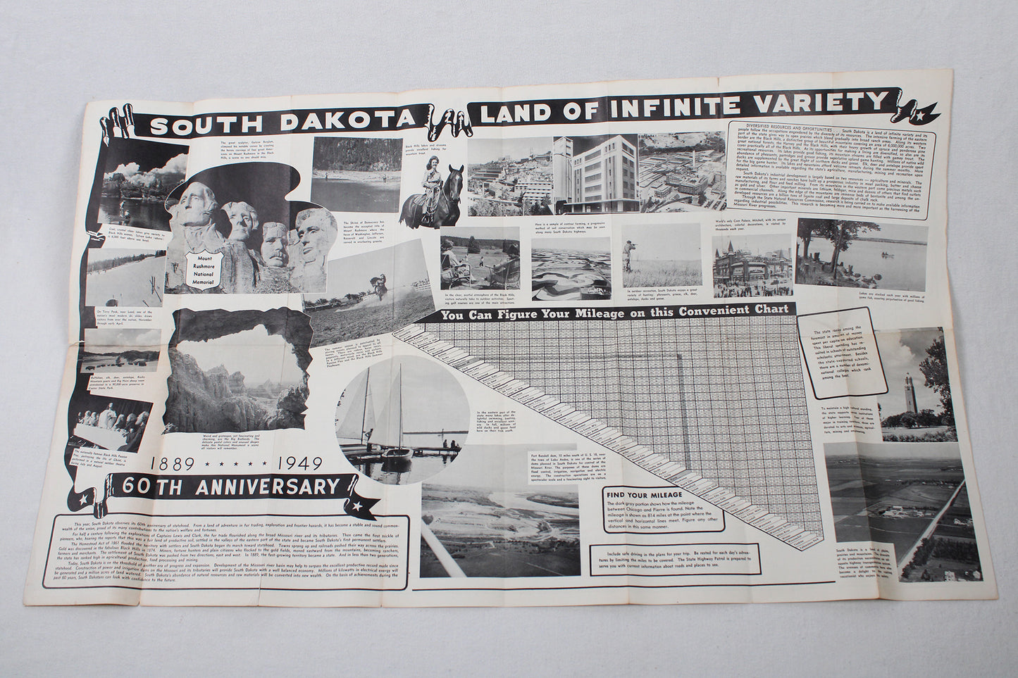
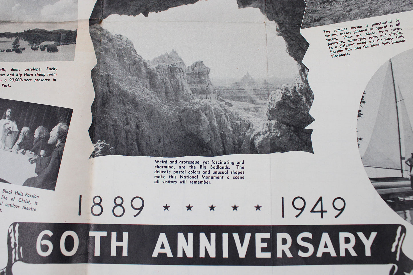
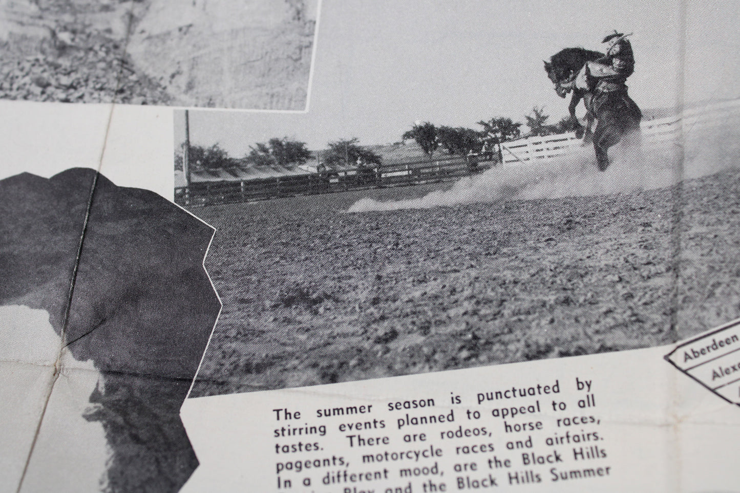
Printed in conjunction with the state’s 60th anniversary (1889-1949), this is both a finely-detailed roadmap and advertisement touting tourism and industry. Accompanying text from the governor boasts of the construction of new dams along the Missouri River that will vastly increase the state’s agricultural yields and bring “immense amounts of electrical energy.” The back promotes the state’s unique topography with plains meeting the mountains. Predictably, there is no mention of Native Americans, their deep regional roots, and connection to the Black Hills, promotion instead geared towards hunting, fishing, the western character of the state, and, of course: Mount Rushmore. Especially interesting are the flight paths of regional airlines-Western, Northwest, Mid-Continent-laid over top of the roadway system.
Condition: Used Good.
Travel Related.
4" wide x 9.25" high (folded) / 32" wide x 18.5 high (unfolded)
1 in stock