The Regionals
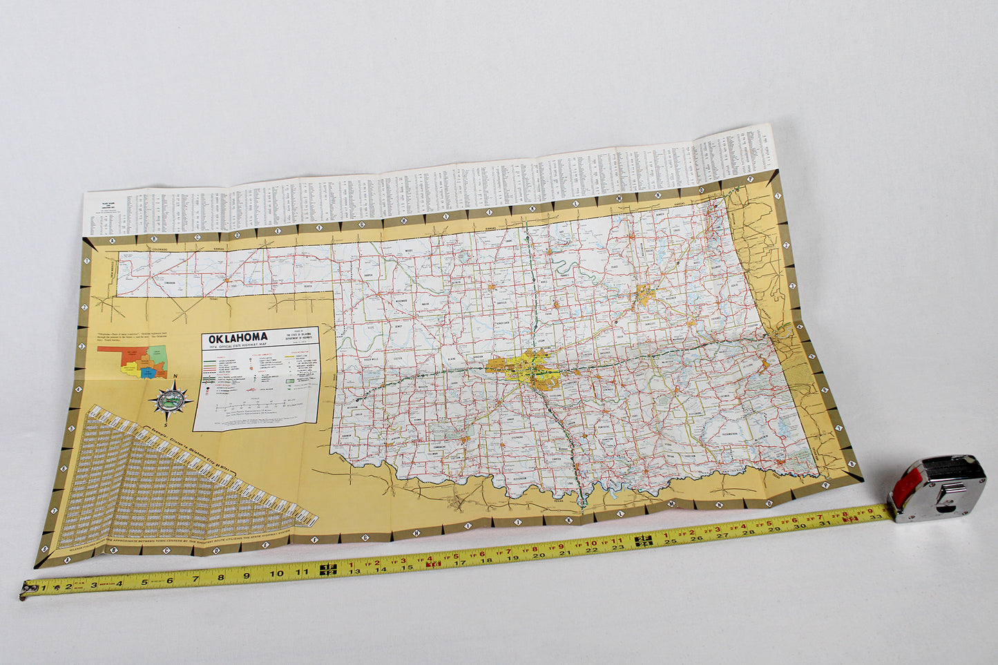
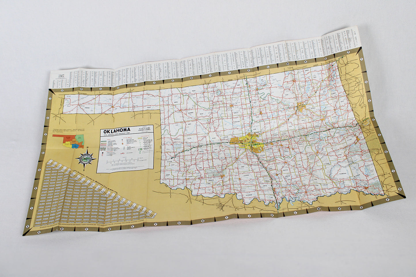
Oklahoma 1974 Official State Highway Map
Oklahoma 1974 Official State Highway Map
Couldn't load pickup availability
MID-AMERICA + THE PLAINS.
State Roadway Map, 1974.
(This fold-out map ships for free.)
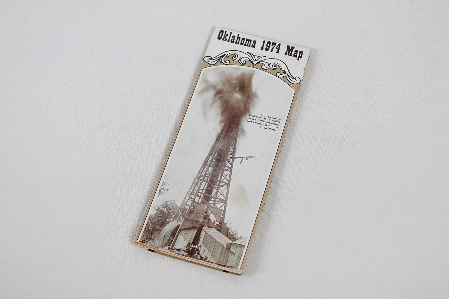
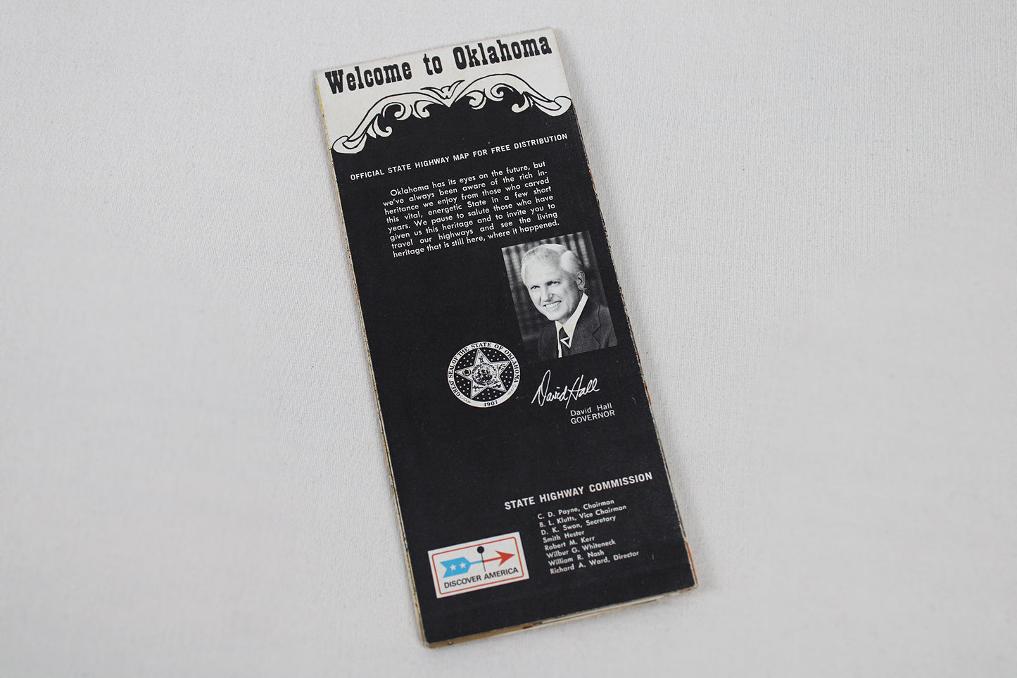
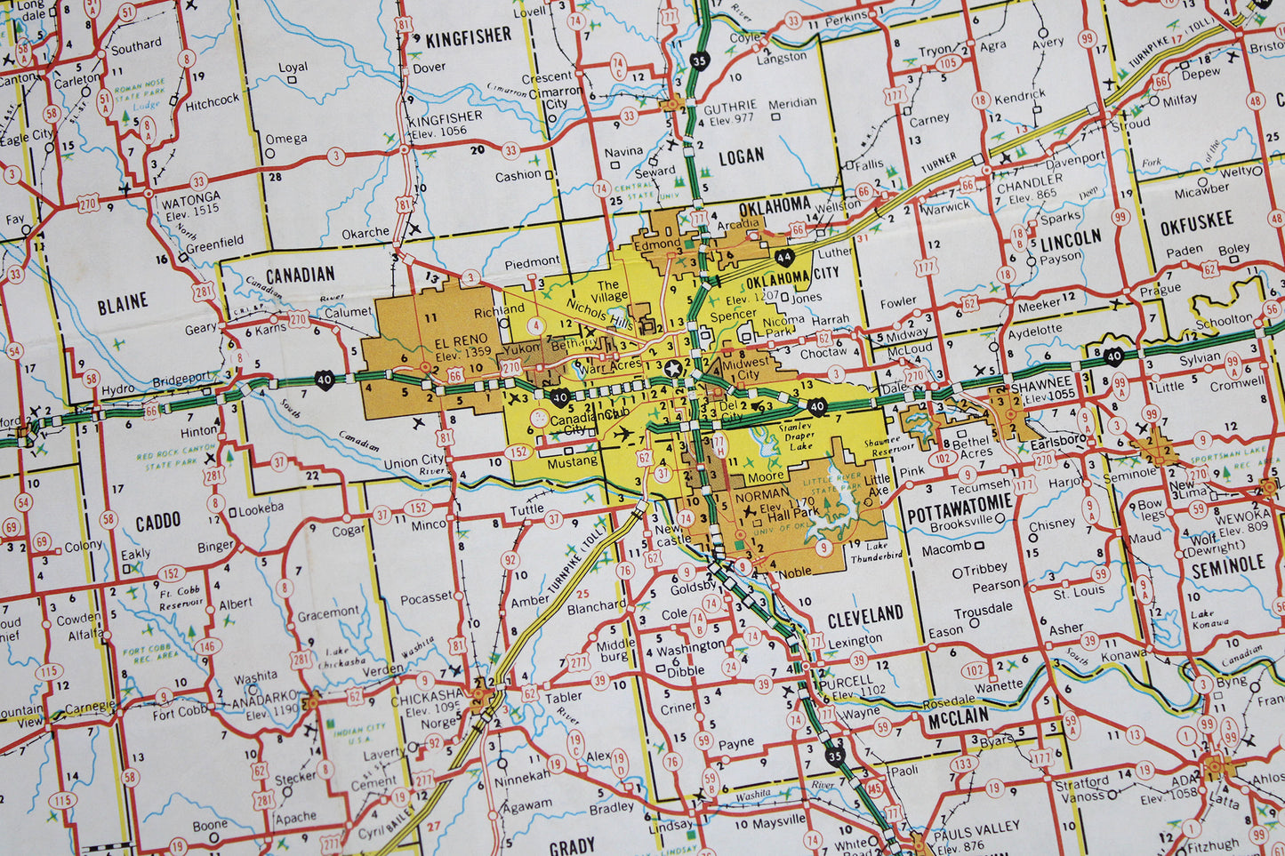
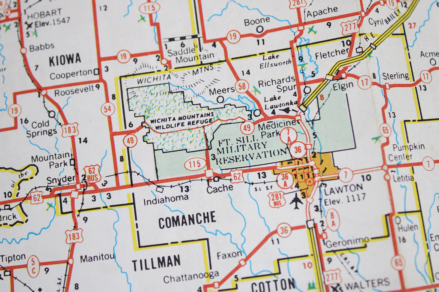
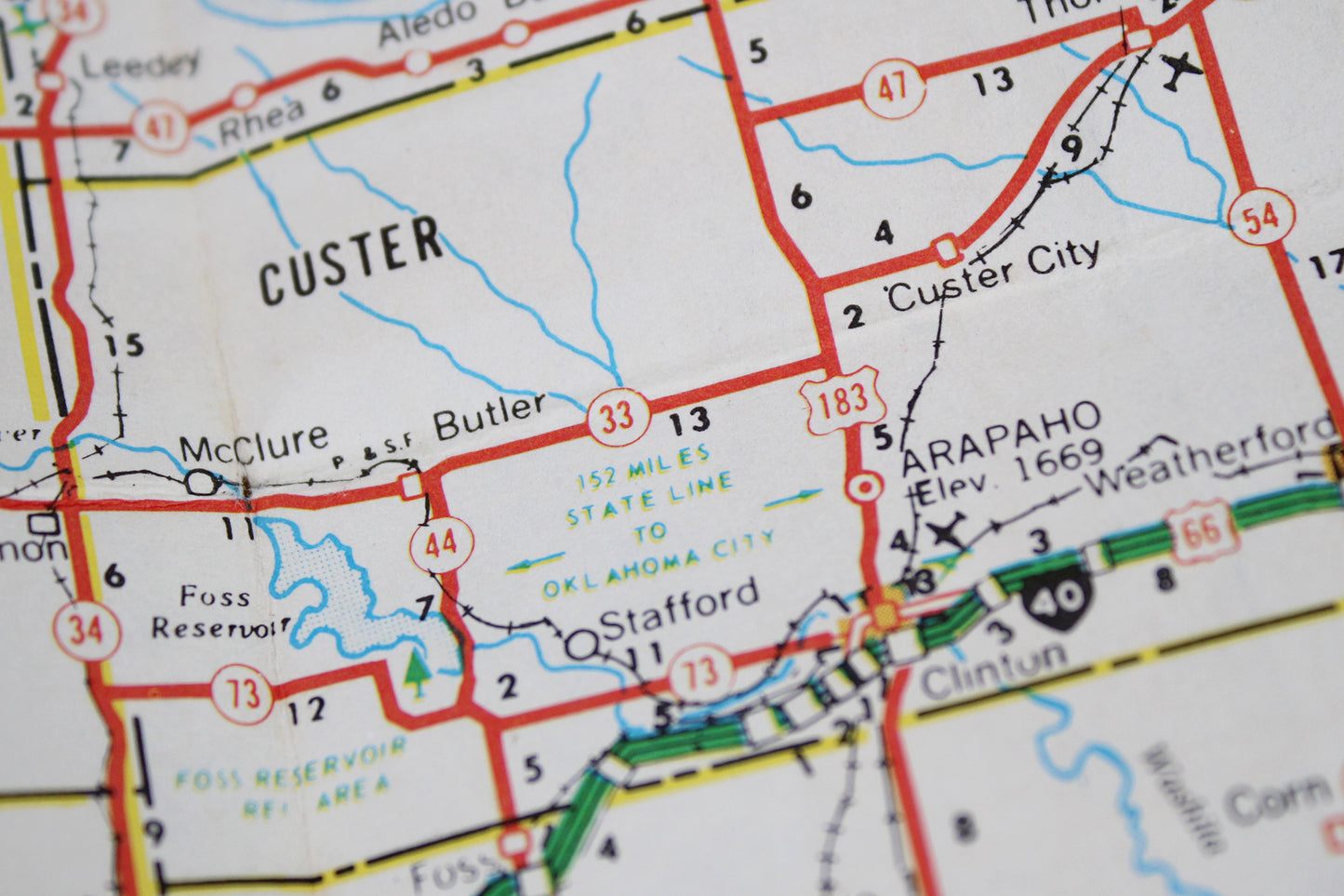
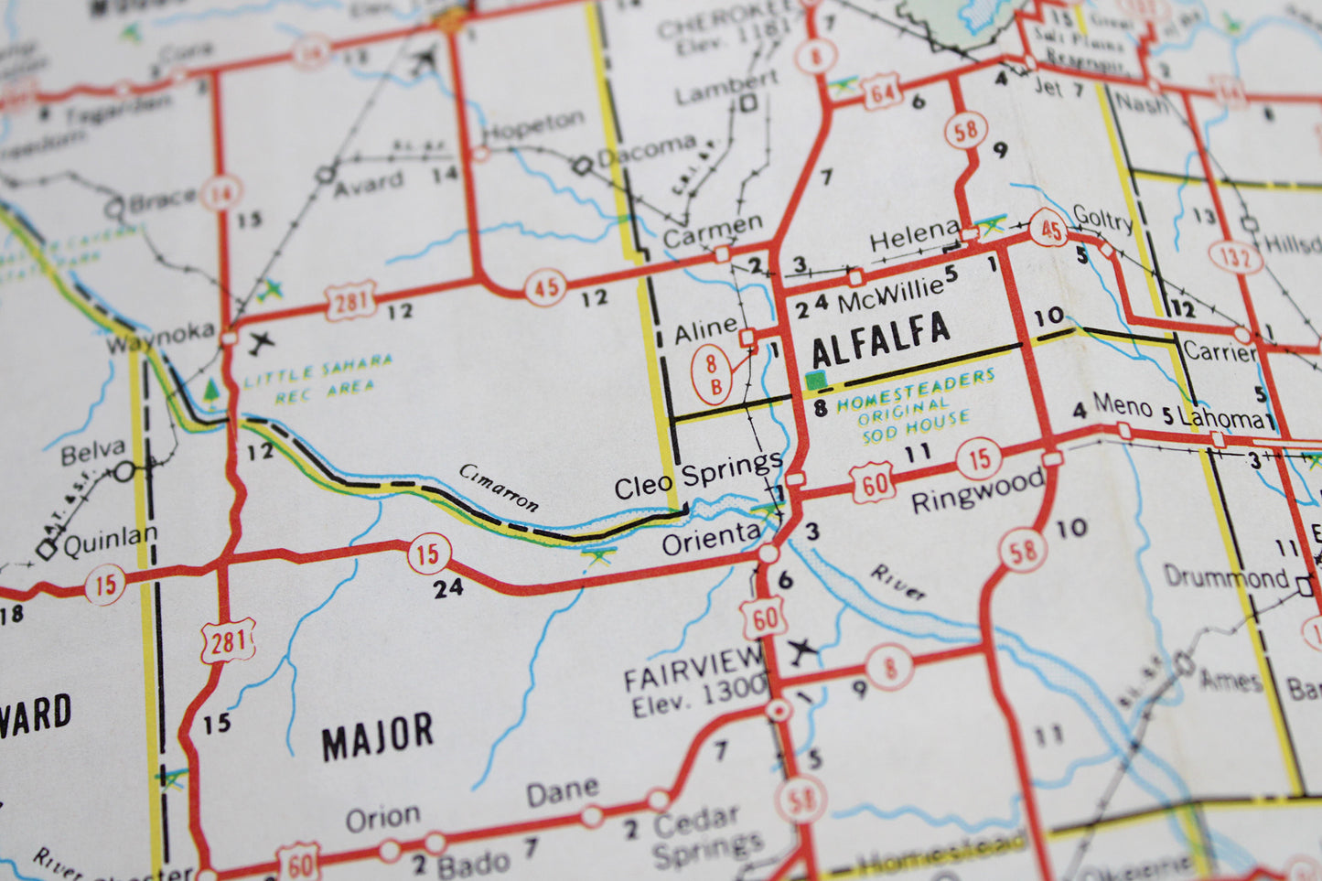
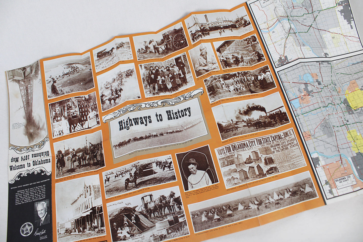
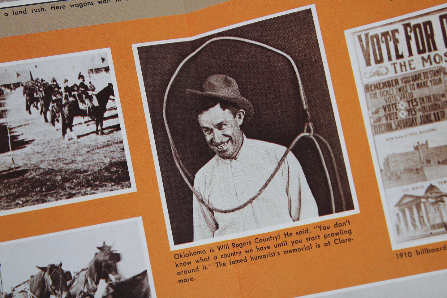
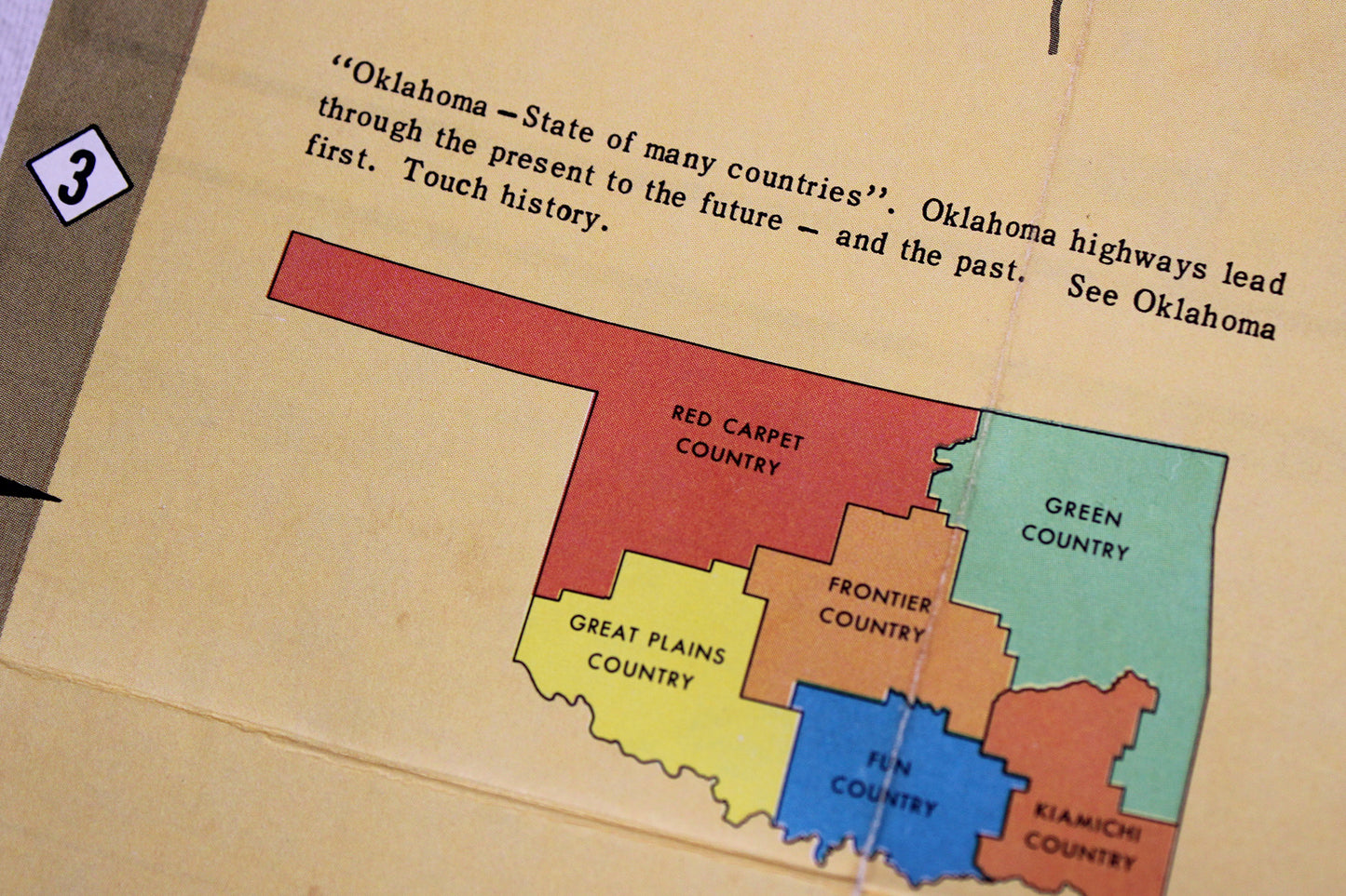
Heritage tourism had long been a staple of state roadway maps. This was especially true with state boosterism across the second half of the 20th-century. This map is contemporary to 1974 in detailing the state’s complex highway/roadway system, significant lengths of toll roads connecting the criss-cross of interstates I-40 and I-35 with Oklahoma’s far-reaching corners an interesting (and self-funding) feature—the “Will Rogers” (perhaps the state’s most famous celebrity export), “Muskogee,” and “Indian Nation” turnpikes, but a few. On the back, one gets the sense of a state history forwarded from a much earlier time, perhaps simply copied from a state map printed decades earlier: “Highways to History.” There is ample showcase of the early homesteaders—the famed “Sooner”—farmers & cattle-ranchers, soldiers on horseback at Ft. Sill, as well as the second land rush that arrived around the turn-of-the-20th-century with the wildcat oil fields, mostly located in the state’s eastern half, oil towns such as Bartlesville. Though leaving out mention as to why they were in Oklahoma, there are several panels that show Kiowa, Cheyenne-Arapaho, and the mentioned Muskogee, their removal and relocation from across the South, Plains, and Southwest to Oklahoma reduced to: “Oklahoma has more Indian citizens than any other state.” We are also reminded of the state’s relatively recent statehood—1909—the governor’s introductory statement inviting the curious “to travel our highways and see the living heritage that is still here, where it happened.”
Condition: Used Very Good.
Travel Related.
Dimensions: 4" wide x 9" high (folded) / 33" wide x 18" high (unfolded)
1 in stock