The Regionals
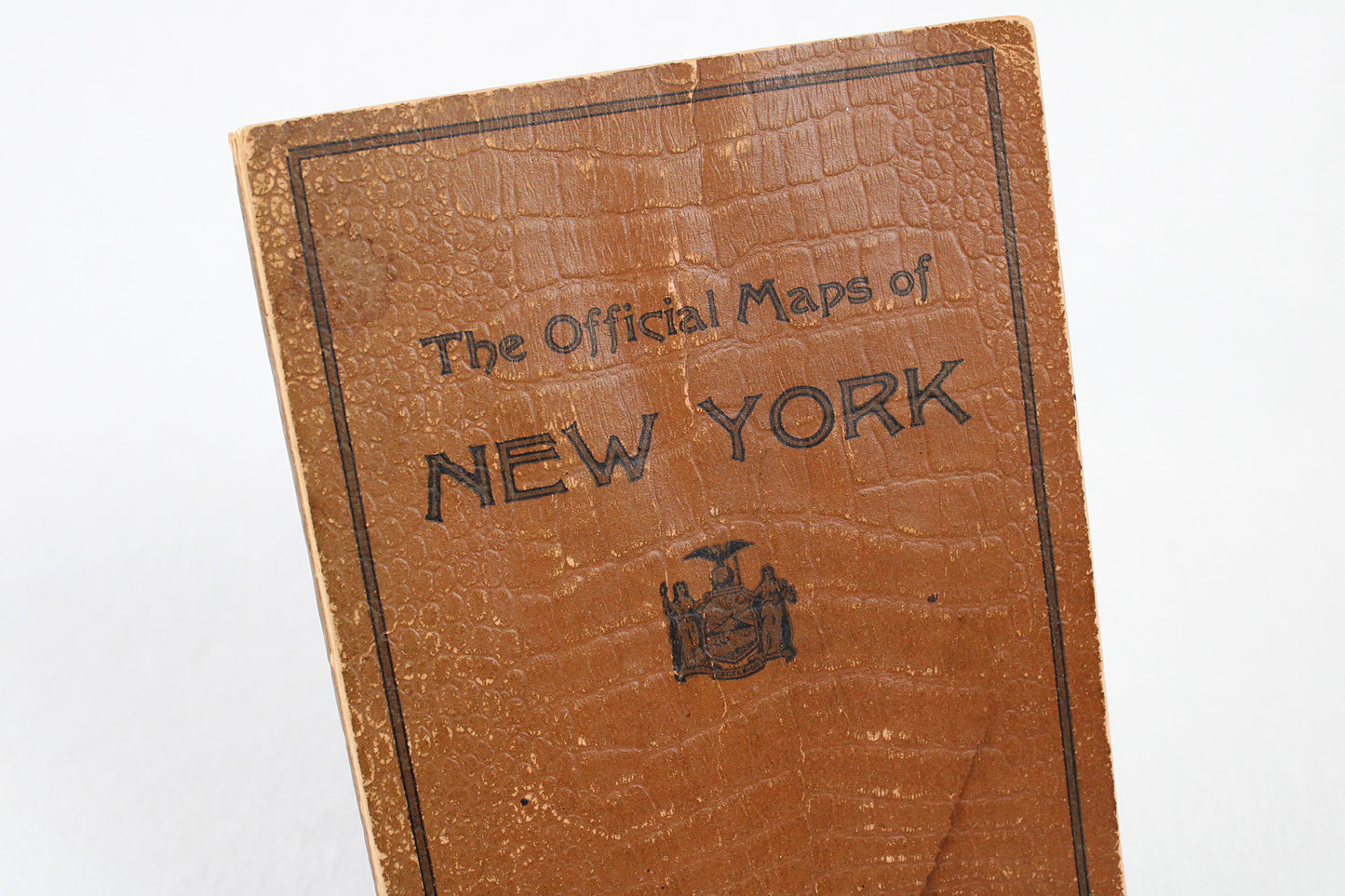
The Official Maps of New York Booklet Atlas by The National Survey Co.
The Official Maps of New York Booklet Atlas by The National Survey Co.
Couldn't load pickup availability
NORTHEAST.
Road Atlas, c. 1925.
This travel history gem is not just fascinating for its incredible detail documenting the earliest comprehensive roadway system through the Empire State, but it is also a work of art having been produced when such fine drafting and engineering renderings were all produced by hand. A little sleuthing puts the likely date of publication in the mid 1920s. The atlas booklet’s index does mention the Theodore Roosevelt Int’l Highway (one of the very first coast to coast “auto trails”), but makes no mention of the iconic north-south Taconic State Parkway through the Hudson Valley, construction of which did not begin until the late 1920s. Finally, the map makers themselves provide the central clue: Lawton and Henry Crocker’s National Survey Company. Setting up shop in Chester, Vermont, the brothers produced a fine portfolio of maps and atlases like “The Official Maps of New York,” the 1920s their most productive era. They would find stiff competition from the much larger Rand McNally and shift to primarily regional travel publications across the Northeast, but while in the roadmap game they produced maps as fine as they came. Despite corner wear on its textured cover (a hard cardboard with an almost laminated-feel), some light stains, and a tear on page 79, this volume is in very fine condition for its age. The initial map of New York blocks the state into 66 segments (segment numbers corresponding to the page) and highlights intricate details of these early motorist routes: from Ogdensburg and Potsdam in the St. Lawrence River region north, down through the Adirondacks and Lake Placid, to the capital region of Albany, Schenectady, and Troy, on down to New York City; the latter area already showcasing a maze of roadway development by even that early date. From the very eastern points of Montauk and Fire Island on Long Island out west on routes connecting Binghamton and Elmira to Jamestown and the “southern tier” in the south, Utica on through Syracuse, the Finger Lakes, and west onto Buffalo along the “Albany-Buffalo Route” in the state’s center, and the routes tracing Lake Ontario through Rochester in western New York, residents or just the plain curious can get lost for hours in these vibrant snapshots of our automotive past when it was still very much in its youth.
Condition: Used Very Good.
Travel Related.
Dimensions: 5.25" wide x 8.5" high (booklet, 80 pgs) / 6 oz
1 in stock